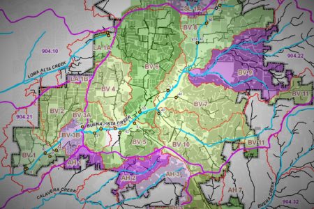
We have developed customized databases for various jurisdictions for the purposes of annual reporting, inventory management, and communication with businesses. We have also incorporated GIS into our data management, which allows us to more accurately prioritize businesses and to analyze collected data spatially. GIS analysis is used to determine land uses, receiving water bodies, and distance to the water bodies. MS4, sewer maintenance, treatment control BMP, and storm water complaint (IC/ID) databases have also been developed.


